Photos | Aerial View of Farmland and Fields
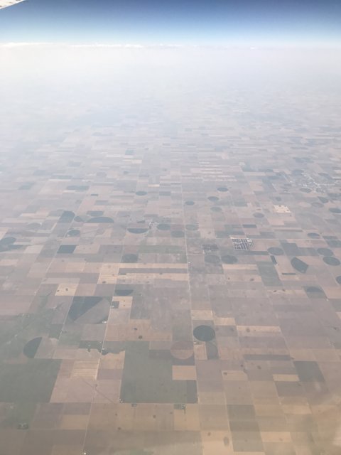
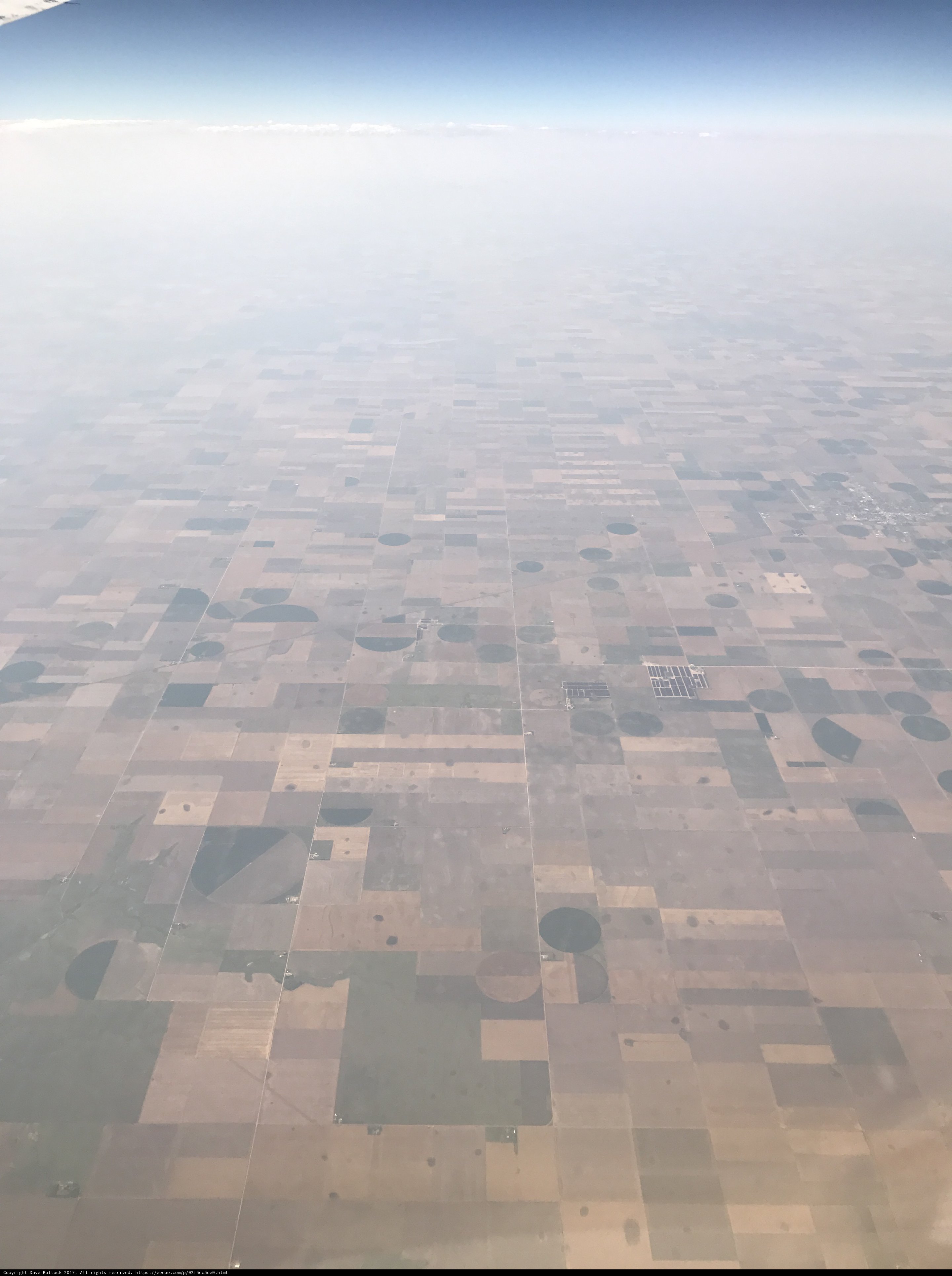
Flying over Pike and San Isabel National Forests, Twin Lakes, Eastern Rockies Corridor, we captured this stunning view of the farmlands and fields, nestled below the horizon. The misty haze and the cloudy sky add to the serene atmosphere. #Outdoors #Nature #AerialView #Weather
BLIP-2 Description:
a view from an airplane window of farmland and fieldsChronologically Adjacent
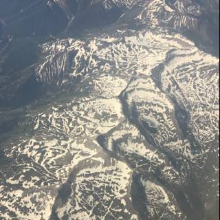
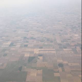
Note: You can also navigate with your arrow keys or swiping.
Metadata
Capture date:
Original Dimensions:
3024w x 4032h - (download 4k)
Usage
Dominant Color:
Location:
iso
20
metering mode
3
aperture
f/1.8
focal length
4mm
latitude
39.15
longitude
-106.54
shutter speed
1/1650s
camera make
Apple
camera model
lens model
overall
(32.59%)
curation
(60.00%)
highlight visibility
(5.12%)
behavioral
(70.29%)
failure
(-1.05%)
harmonious color
(1.34%)
immersiveness
(0.34%)
interaction
(1.00%)
interesting subject
(-37.26%)
intrusive object presence
(-4.35%)
lively color
(-2.65%)
low light
(0.98%)
noise
(-1.88%)
pleasant camera tilt
(-10.58%)
pleasant composition
(-6.31%)
pleasant lighting
(-17.43%)
pleasant pattern
(6.84%)
pleasant perspective
(9.00%)
pleasant post processing
(-1.86%)
pleasant reflection
(-8.92%)
pleasant symmetry
(0.39%)
sharply focused subject
(1.73%)
tastefully blurred
(-7.87%)
well chosen subject
(2.35%)
well framed subject
(12.66%)
well timed shot
(5.72%)
all
(1.74%)
* WARNING: The title and caption of this image were generated by an AI LLM (gpt-3.5-turbo-0301
from
OpenAI)
based on a
BLIP-2 image-to-text labeling, tags,
location,
people
and album metadata from the image and are
potentially inaccurate, often hilariously so. If you'd like me to adjust anything,
just reach out.